Hangzhou, nestled in Eastern China, is a city renowned for its historical richness and natural beauty. It stands as a significant cultural, economic, and technological center in the region.
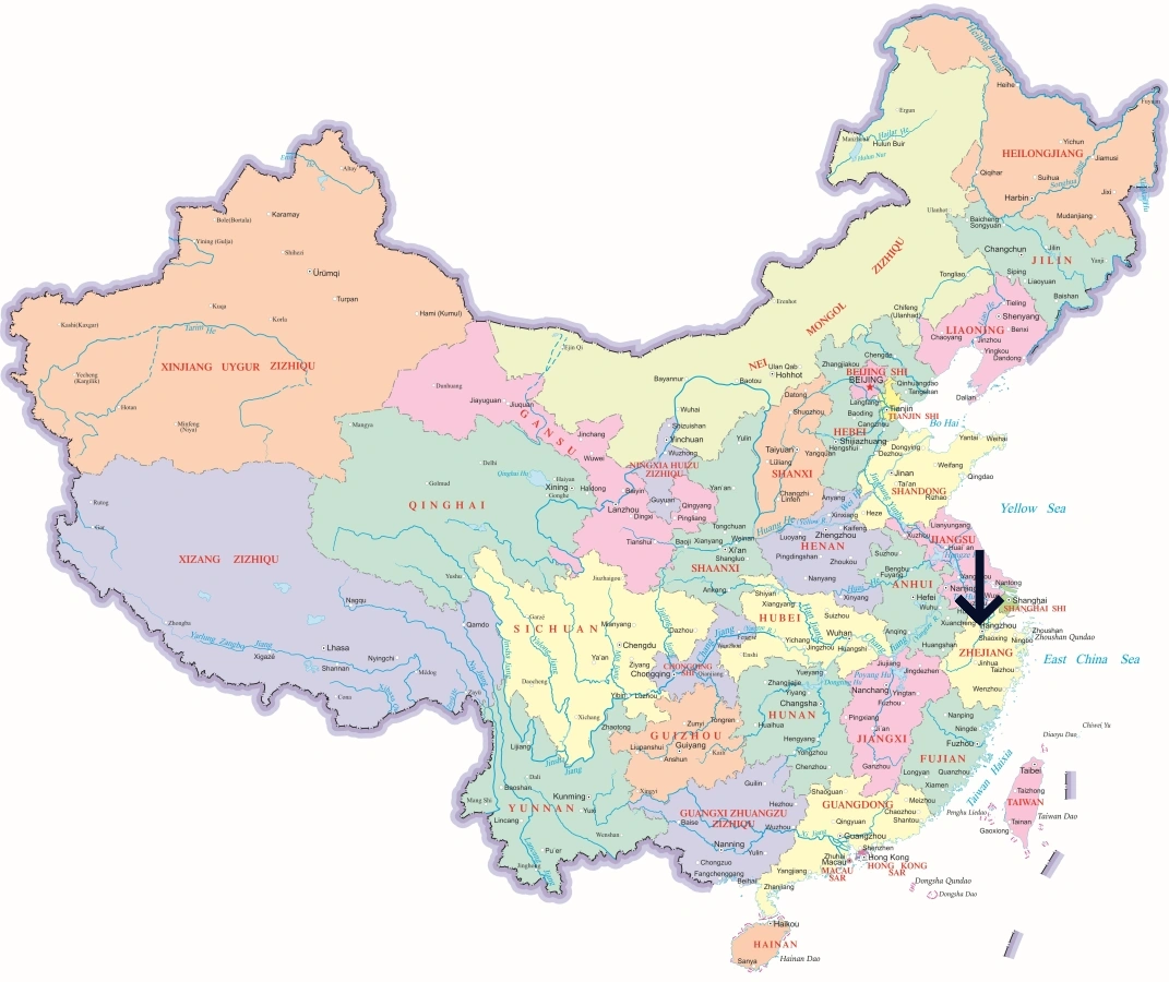
Hangzhou’s Location in China
Hangzhou is beautifully located at the southern end of the Grand Canal and is the capital of Zhejiang Province. It is bordered by the Yangtze River Delta to the north and the provinces of Anhui and Jiangxi to the west and south respectively. Proximity to major cities like Shanghai, Suzhou, and Ningbo positions Hangzhou as a pivotal hub in eastern China.
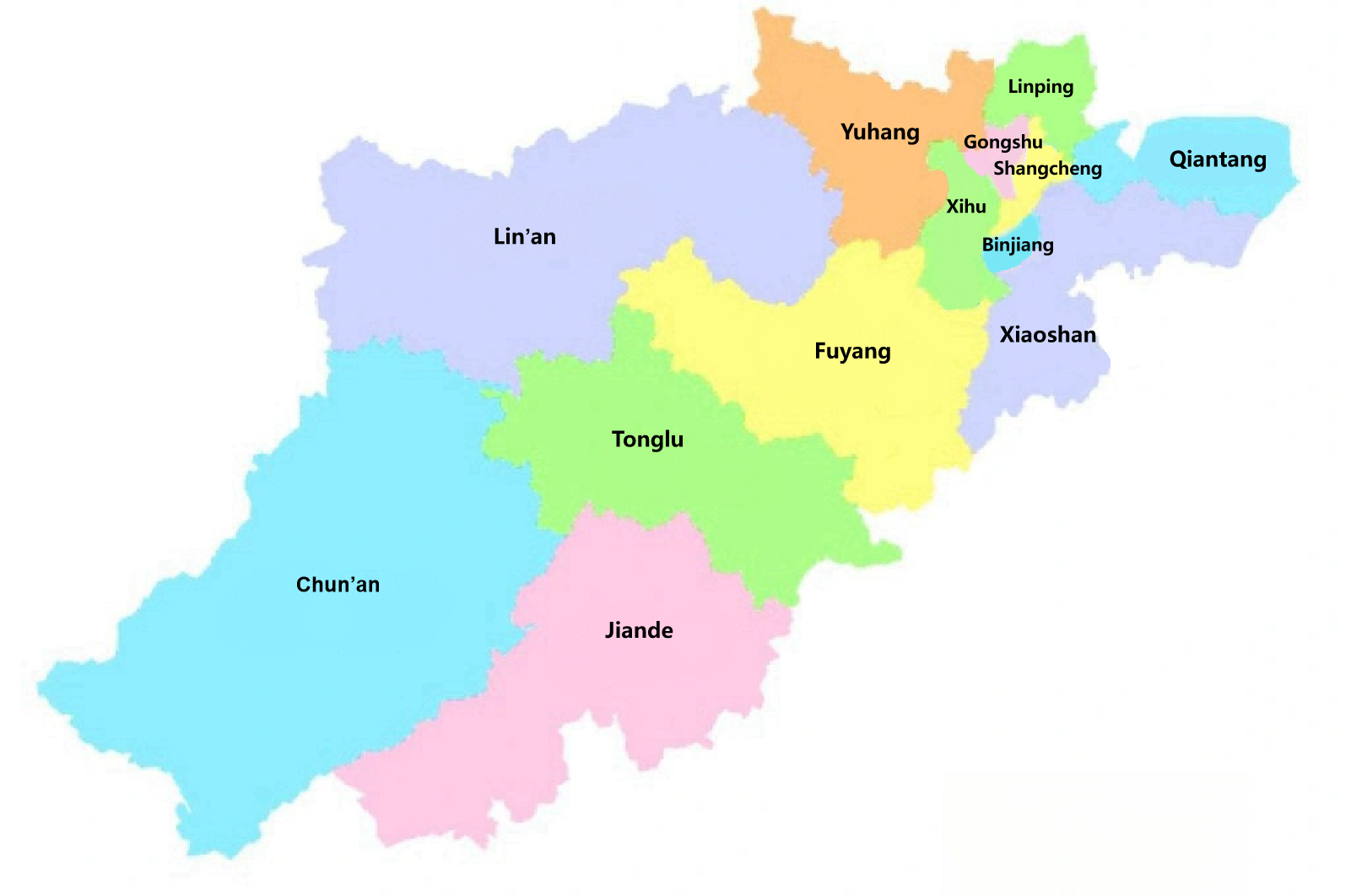
Map of Hangzhou’s Administrative Districts
Hangzhou is divided into 10 administrative districts and several counties. The districts include Shangcheng, Xiacheng, Jianggan, Gongshu, Xihu, Binjiang, Yuhang, Fuyang, Lin’an, and Xiaoshan. Each district has its own distinct charm and plays a vital role in the city’s overall dynamics, from the bustling commercial centers to serene scenic spots like West Lake.
Popular City Maps
Access detailed maps of popular cities in China for quick orientation on regions and transportation networks.



 English (US)
 繁體中文
繁體中文  日本語
日本語  한국어
한국어  ไทย
ไทย  Русский